Franklin County Engineer Facebook Feed

Franklin County Engineer

As a local public works agency headquartered in Columbus, Ohio, the Franklin County Engineer's Office is responsible for the maintenance and construction of 271 miles of county roadway and 351 county bridges, as well as upkeep of all county ditches, drains, retention basins, and other storm water facilities within the right-of-way of county roads in unincorporated areas. To meet the continuing development and infrastructure needs of Franklin County, the Engineer's Office utilizes the latest technologies for determining and maintaining roadway centerlines and boundaries; retracing and setting new monuments for original public land surveys; preparing geographic information system mapping for real estate tax assessments; and establishing precise countywide horizontal and vertical control to maintain uniformity in construction, surveying, and mapping.
Franklin County Engineer
Morse Road, between Johnstown Road and Reynoldsburg-New Albany Road, is closed due to a vehicle crash. This road will reopen as soon as the crash has been cleared.
Franklin County Engineer
The intersection of Clark State Road and Havens Road is closed due to downed power lines in the intersection. The road closure will remain closed until AEP completes the necessary repairs.
Franklin County Engineer
Our offices are closed today in observance of Memorial Day. We take this day to remember those who lost their lives serving our country. We will reopen tomorrow, May 30, 2023, at 7:00 a.m.
Franklin County Engineer
Ebright Road, between Bixby Road and Winchester Pike, is now open to traffic. Thank you to the FCEO Bridge Department for completing the project one week ahead of schedule!
Franklin County Engineer
2022 In Review-Fisher Rd between I-70 & McKinley Ave: In central #franklincounty; in Franklin Township Government, Franklin County; very near the Franklin County Sheriff's Office new, state-of-the-art James A. Karnes Corrections Center. This infrastructure investment improvement was designed by ms consultants, inc.; was built by Decker Construction Company; & was a collaboration among: The Franklin County Engineer's Office, Franklin County Sheriff Dallas Baldwin, City of Columbus - City Hall, & the Franklin County Board of Commissioners following what we call, #TheFranklinCountyWay. The project was administered by #teamfceo with Field Engineering & Construction Inspection by Terracon. Funded by our good taxpayers including Ohio Public Works Commission Funds, Franklin County Commissioners' General Fund, and Road & Bridge Funds thru your friendly Franklin County Engineer. Thank you all!
Franklin County Engineer's Office
970 DUBLIN ROAD
COLUMBUS, OHIO 43215
(614) 525-3030
fracoeng@franklincountyengineer.org
Top
 

Surveyor’s Journal Entry One

Surveyor’s Journal Entry One

The First Survey Leads to War

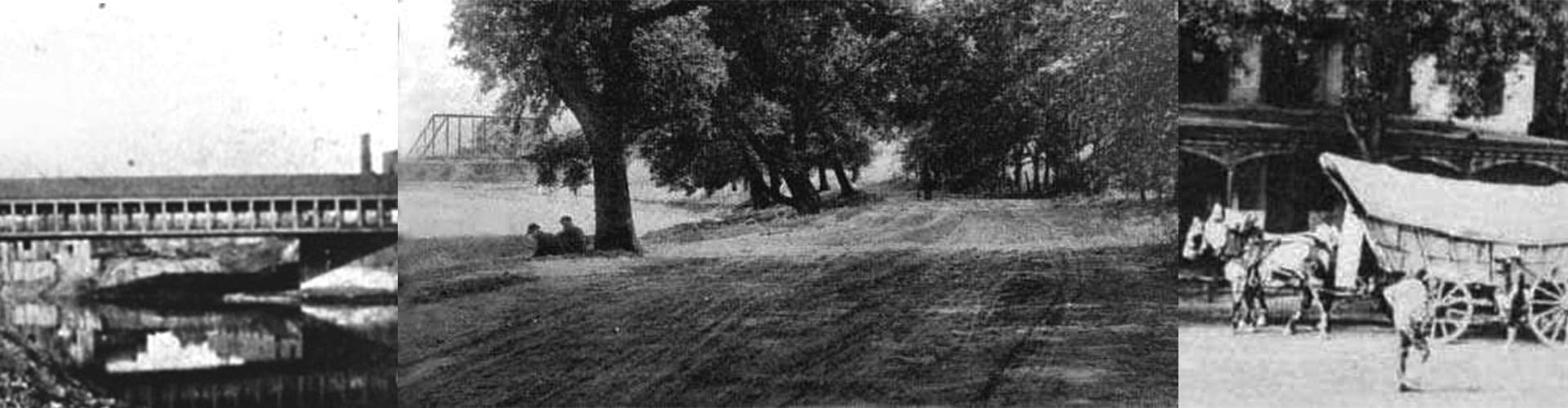
“This place (between the Licking and Scioto Rivers) is fine rich level land with large meadows, clover bottoms, spacious plains covered with wild rye; the woods chiefly large walnuts and hickories here and there mixed with Poplar, Cherry, and Sugar Trees,” wrote Surveyor Christopher Gist on January 20, 1751 while leading the first European survey party to explore and journal rudimentary observations in Ohio.

Gist, the son of Surveyor Richard Gist who helped plat the City of Baltimore, Maryland, was working for the Ohio Company of Virginia when he entered Ohio from the area of modern-day Beaver County, Pennsylvania. His party journeyed west and then south to the future sites of Lisbon, Bolivar, Coshocton, Zanesville, Lancaster, and Circleville, before heading down the Scioto River to Chillicothe and Portsmouth. They then turned northwest towards Cincinnati and up the Great Miami River to the Miami Indian Village of Pickawillany, near Piqua, where a trading outpost had been established in 1749, before he turned south to Kentucky.

Under a grant from the British Crown, the Ohio Company of Virginia had planned to initially colonize 200,000 acres of land at the forks of the Ohio River (at Pittsburgh, Pennsylvania) and to explore west of the Appalachian Mountains so that trade could be established with Native Americans.

The British presence, however, was viewed as an incursion on the New France territory of “Upper Louisiana,” which included Ohio. The area had been most recently visited and marked, in 1749, by a French military expedition commanded by Pierre-Joseph Celeron de Bienville, who oversaw the burying of six lead plates and the posting of placards that declared the sovereignty of King Louis XV near the major tributaries of the Ohio River. The bountiful lands were desired for future settlement, agriculture, and the lucrative fur trade.

On June 21, 1752, French troops, accompanied by Ottawa and Chippewa warriors, attacked and destroyed the fortified Village of Pickawillany. This was the start of a long period of unrest in the disputed area.

Peace would not come to the Ohio country until after the fighting of the French and Indian War (1754-1763), Pontiac’s Rebellion (1763-1766), the American Revolution (1775-1783), the Ohio Indian Wars (1783-1813), and the War of 1812 (1812-15) when land claims were ultimately settled and pioneers began moving west.