


Surveyor’s Journal Entry Seventeen
Boom and Bust Times Affect County Land Sales
The addition of 45 2.5-acre lots on Columbus’ northern border in 1813, in the modern-day Short North neighborhood, and 328 acres in 1814, in the modern-day German Village, under the proprietorship of Canadian refugee John McGowan and Deputy Surveyor John Shields, exemplified the land changes that were starting to occur in Franklin County.
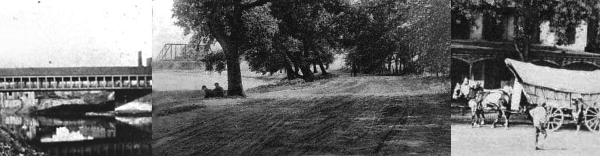
The first surge in land development, by 1816, coincided with the incorporation of Columbus as a Borough, the opening of the Franklin Bank of Columbus, the start of regular stagecoach service, completion of the new State House, and the opening of the first bridge over the Scioto River just south of modern-day Broad Street. At the time, there were nearly 700 residents in the borough and more than 1,000 residents across the county.
The nationwide economic panic of 1819, however, caused a steep drop in land prices that impacted local land development and sales. Prime in-town lots were selling for as low as $200 while out-lots could be purchased for 10 to 20 dollars. Foreclosures were commonplace, and even involved Columbus proprietors James Johnston and Alexander McLaughlin who relinquished their remaining properties.
Congress responded to the downturn by passing the Land Act of 1820. The legislation ended the practice of selling public land “on credit,” and required that a $100 down payment be made at the time of a transaction. The minimum land purchase and price were reduced to 80 acres at a cost of $1.25 per acre in the hopes of attracting new settlers, as well as encouraging “squatters” to purchase the land on which they resided.
Congress then passed the Relief Act of 1821 that allowed property owners in default to return their land in exchange for credit toward their debt. This was particularly helpful to farmers who could downsize without losing all of their property. The duration of credit was also extended from four to eight years to give investors and the economy time to recover.