Franklin County Engineer Facebook Feed

Franklin County Engineer

As a local public works agency headquartered in Columbus, Ohio, the Franklin County Engineer's Office is responsible for the maintenance and construction of 271 miles of county roadway and 351 county bridges, as well as upkeep of all county ditches, drains, retention basins, and other storm water facilities within the right-of-way of county roads in unincorporated areas. To meet the continuing development and infrastructure needs of Franklin County, the Engineer's Office utilizes the latest technologies for determining and maintaining roadway centerlines and boundaries; retracing and setting new monuments for original public land surveys; preparing geographic information system mapping for real estate tax assessments; and establishing precise countywide horizontal and vertical control to maintain uniformity in construction, surveying, and mapping.
Franklin County Engineer
The Alton & Darby Creek Road 1.88 over Clover Groff Run Improvement Project is making progress! Thanks to our contractor, J & J Schlaegel, Inc., for working hard on this project. Check back soon for updates.
Franklin County Engineer
Our Bridge Maintenance crews did an excellent job waterproofing the newly installed box culverts on the Schleppi Road 0.60 over Bevelhymer Ditch project. Check back soon for updates.
Franklin County Engineer
Box culverts have been installed on the Brand Road 1.82 over Bishop Ditch project. The next step will be to waterproof the boxes. Check back soon for updates.
Franklin County Engineer
Demorest Road, north of the Alkire Road roundabout is under construction due to a storm sewer replacement project. The intersection of Alkire Road at Demorest Road (Phase 2) is now closed. The closure is expected to last approximately twenty (20) days, weather permitting.
Franklin County Engineer
The Reese Road Bridge over Big Walnut Creek Bridge Replacement project is underway. Check back soon for updates.
Franklin County Engineer
Demorest Road, north of the Alkire Road roundabout, is currently closed for storm sewer replacement. Phase 2 of the closure, the intersection of Alkire Road at Demorest Road, will begin July 23, 2024 and is expected to last approximately twenty (20) days, weather permitting.
Franklin County Engineer's Office
970 DUBLIN ROAD
COLUMBUS, OHIO 43215
(614) 525-3030
fracoeng@franklincountyengineer.org
Top
 

Surveyor’s Journal Entry Four

Surveyor’s Journal Entry Four

The Virginia Military District is Home to Central Ohio’s First Settlers

In 1783, the Virginia Legislature agreed to give up its claims to land in the Ohio Territory in exchange for the creation of the Virginia Military District, which reserved approximately 4.2 million acres of wilderness, bordered by the Ohio River to the south, the Little Miami River to the west, and the Scioto River to the north and east, for settlement by war veterans from Virginia. Land was to be apportioned based on rank and years of service.

One of the first federally appointed deputy surveyors to work and settle in the district was Virginia native Nathaniel Massie who ventured from Kentucky in 1790. He founded the town of Manchester (Massie’s Station) along the Ohio River and then moved north where he laid out the town of Chillicothe, Ohio’s first capital, in 1796. Assistance was provided by Deputy Surveyors Thomas Worthington (Ohio’s first U.S. Senator and sixth Governor), Edward Tiffin (Ohio’s first Governor and third U.S. Senator, Surveyor General of the Northwest Territory, and brother-in-law of Thomas Worthington) and Duncan McArthur (Ohio’s eleventh Governor).

Because of Virginia’s ties to the district, these original surveys were conducted using the old “Metes and Bounds” style of describing land, which was standard practice throughout the original thirteen colonies. This led to the possibility of irregularities and disputes since physical features, such as large rocks, trees, and bodies of water, were combined with directions and distances to define boundaries rather than the new rectangular system.

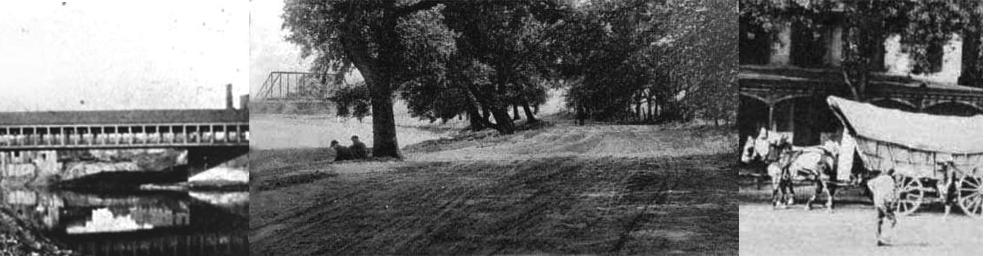
Farther up the Scioto River, Deputy Surveyor Lucas Sullivant, from Virginia, laid out the town of Franklinton, just west of the confluence with the Olentangy (Whetstone) River, in August 1797. Like many surveyors of the time, he took his pay in land, which afforded him the opportunity to become one of Ohio’s largest land holders with nearly 40,000 acres, and the founder of Franklinton, which was the first settlement in the area that became Franklin County.