


Surveyor’s Journal Entry Twenty
Meeting the Transportation Needs of a Changing Landscape
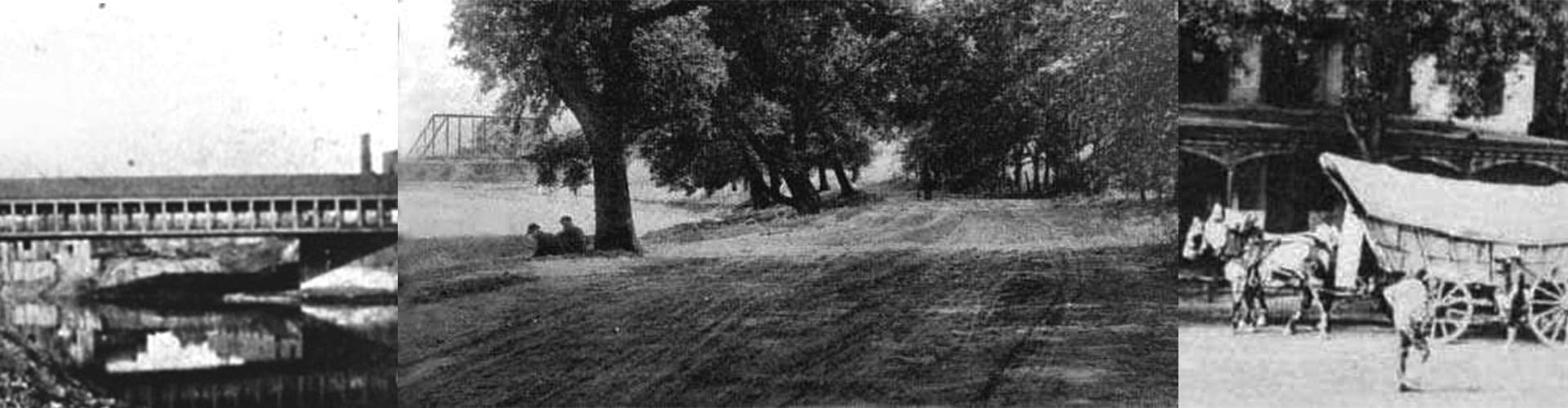
By 1850, Columbus had become a major commercial and government center noted for its financial and legal institutions, the state penitentiary, restaurants, hotels, shops, buggy and carriage works, breweries, foundries, textiles, rock quarries, agriculture, and livestock.
The Franklin County Property and Highway Map, first published in 1842, showed a vast sea of farms, villages, and township communities encircling Columbus, all joined together by an evolving street and roadway system.
It was during this growth that the Franklin County Surveyor’s Office, which had established many of the original roads, adopted the responsibility of highway engineering. It would be the duty of the “county engineer” to represent the board of county commissioners and the State of Ohio in the planning of the area’s first local highways, which included:
Columbus & Portsmouth Turnpike (U.S. Rt. 23, South High Street, Portsmouth-Columbus Road) opened in 1847
Columbus & Harrisburg Turnpike (U.S. Rt. 62, S.R. 3, Harrisburg Pike) opened in 1849
Columbus & Worthington Plank Road (North High Street, U.S. Rt. 23) replacing the Franklin County section of the Columbus &
Sandusky Turnpike opened in 1850
Columbus & Groveport Turnpike ( Groveport Road) opened in 1850
Johnstown Plank Road (Johnstown Road, U.S. Rt. 62) opened in 1852
Columbus & Granville Turnpike (East Broad Street, S.R. 16) opened in 1852
Franklin & Jackson Turnpike (Harmon Avenue, Jackson Pike, S.R. 104) opened in 1852
Columbus & Sunbury Plank Road (Sunbury Road) opened in 1852
Clinton & Blendon Plank Road (Westerville Road , S.R. 3) opened in 1854
These early thoroughfares were operated by incorporated highway companies that financed construction and maintenance costs through stock sales, toll collections, and government appropriations. Transportation financing began as early as 1802 when Ohio started to receive three percent of the net proceeds from the sale of federal land in the state to build roads.