


Surveyor’s Journal Entry Twenty-One
The Hallowed Grounds of War
Franklin County’s crossroads location made it ideal for military encampments during the Civil War. Open land, located near the National Road (Broad Street) and the growing network of railroads, was strategically vital for the assembly of troops and equipment necessary to sustain the Union Army.
Thousands of volunteers bivouacked around the Statehouse in response to President Lincoln’s call for states to mobilize their militias in defense of the nation following the Confederate bombardment of Fort Sumter in Charleston Harbor, South Carolina.
To relieve overcrowding on the ten-acre Capital Square, Goodale Park was requisitioned by Governor William Dennison and converted into Camp Jackson, named in honor of Andrew Jackson (Major General during the War of 1812, U.S. Senator from Tennessee, and Seventh President of the United States). From April through September 1861, more than 8,000 Ohio troops, including future presidents Rutherford B. Hayes and William McKinley, Jr., were assigned to the makeshift compound.
Public concerns over damage to the park, and the possible enforcement of Lincoln Goodale’s “Park Only” deed restrictions, lead to the reassignment of the troops to new encampments located in other areas of the county.
Camp Chase, named in honor of Salmon P. Chase (Ohio’s 23rd Governor and Secretary of the Treasury in the Lincoln Administration), was situated four miles west of downtown Columbus, between modern-day West Broad Street, Sullivant Avenue, Hague Avenue, and Binns Boulevard, on 160 acres in Franklin Township leased from William S. Sullivant (Lucas Sullivant’s oldest son, surveyor, and noted biologist). From July 1861 through July 1865, the camp served as a recruitment and training base for more than 100,000 Union soldiers and detainment center for 25,000 Confederate prisoners. Overcrowding and unsanitary conditions lead to the deadly outbreak of Cholera, Typhoid Fever, and Scarlet Fever. There are 2,600 soldiers buried in the Camp Chase Confederate Cemetery that succumbed to illness and battle injuries.
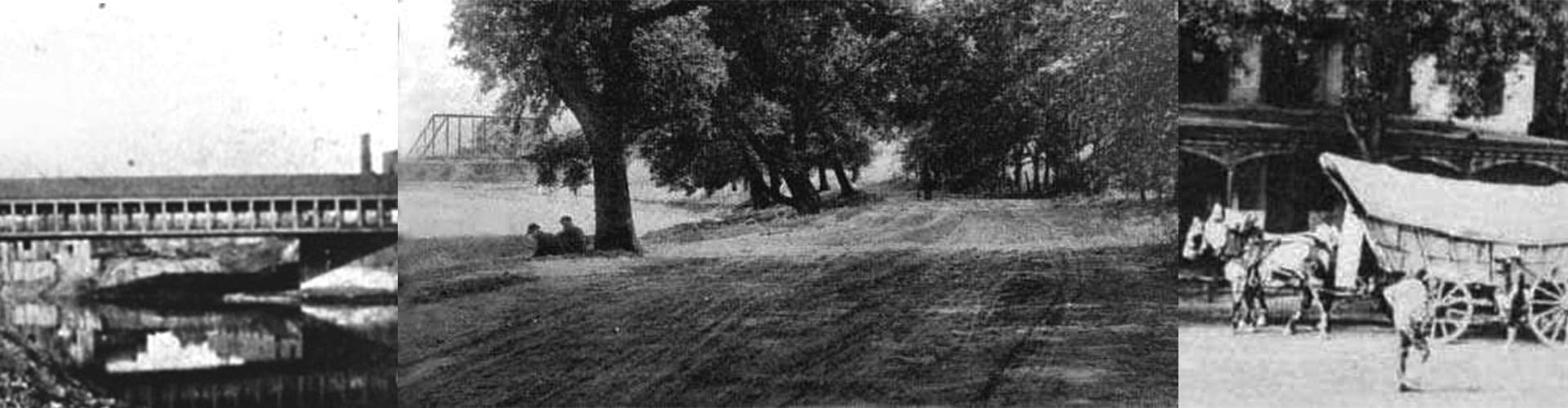
Camp Thomas, named in honor of Lorenzo Thomas (Adjutant General of the U.S. Army), served as a training center for approximately 6,000 infantry and artillery regiment members from July 1861 through October 1866. The encampment was situated on a 115 acre farm owned by Solomon Beers (developer, entrepreneur, and son of David Beers, founder of the county’s first grist mill at Dodridge Street). It was located along the east side of North High Street in North Columbus, which was a fledgling community platted by the Beers Family between the Olentangy River, Arcadia Avenue, Indianola Avenue, and Clinton Street, in Clinton Township.
Tod Barracks, named in honor of David Tod (Ohio’s 25th Governor), was the military headquarters for central Ohio from December 1863 to July 1865. It was situated on nine acres at the southeast corner of Poplar Avenue and High Street. The facility included six barracks, two mess halls, a guard house, military store, and a small hospital.
The Columbus Arsenal, situated on 77 acres at the northeast corner of Cleveland and Buckingham Avenues, was established in 1863 as a depot for arms, ammunition and equipment. At the heart of the camp was the “Shot Tower” building, which is believed by some historians to have been used to manufacture metal shot for cannon munitions. The complex was renamed the “Columbus Barracks” in 1875 and “Fort Hayes” in 1922, honoring Rutherford B. Hayes (Major General during the Civil War, U.S. Congressman, Ohio’s 29th and 32nd Governor, and 19th President of the United States). It was mainly used for the recruitment and training of U.S. Army and Ohio National Guard troops until the Fort Hayes Metropolitan Education Center was established there by the Columbus Public Schools in 1988.