Franklin County Engineer Facebook Feed

Franklin County Engineer

As a local public works agency headquartered in Columbus, Ohio, the Franklin County Engineer's Office is responsible for the maintenance and construction of 271 miles of county roadway and 351 county bridges, as well as upkeep of all county ditches, drains, retention basins, and other storm water facilities within the right-of-way of county roads in unincorporated areas. To meet the continuing development and infrastructure needs of Franklin County, the Engineer's Office utilizes the latest technologies for determining and maintaining roadway centerlines and boundaries; retracing and setting new monuments for original public land surveys; preparing geographic information system mapping for real estate tax assessments; and establishing precise countywide horizontal and vertical control to maintain uniformity in construction, surveying, and mapping.
Franklin County Engineer
Join #TeamFCEO today at Genoa Park to commemorate Celebrate Trails Day in recognition of Earth Day! Take a guided walk or bike ride along the trails, enjoy food trucks, giveaways, and lots of fun activities as you experience our local trail system. #CelebrateTrails
Franklin County Engineer
#TeamFCEO participated in the Rise Up CBUS! event at Feddersen Community Center along with other public agencies and organizations. It was a great opportunity to share information about our office with the community. We are looking forward to the next event!
Franklin County Engineer
#TeamFCEO participated in Bring Your Child to Work Day where we shared the roles and responsibilities of our office with the kids in recognition of this year’s theme, "Inspire 2 Aspire,". The day was a great success!
Franklin County Engineer
Morse Road between the county line and Babbitt Road is now open to traffic.
Franklin County Engineer's Office
970 DUBLIN ROAD
COLUMBUS, OHIO 43215
(614) 525-3030
fracoeng@franklincountyengineer.org
Top
 

Surveying and Land History

Surveying and Land History

To understand the evolution of Franklin County, one must explore Ohio’s rich surveying history and how it influenced the measurement and division of our local land.

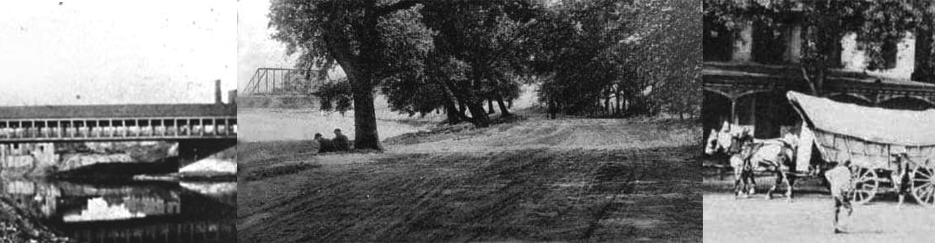
Long before Ohio became a state, it was a Native American territory that was eventually claimed by different nations and colonies. The variety and number of these claims caused Ohio to have more original surveys than any other state.

The first surveyors lived a hard life threatened by the perils of the wilderness far from civilization and family.

The endless forests, tall grasses, and rugged terrain of Ohio made tracking difficult. With only a chain for measurement and a compass for navigation, it is easy to understand why there are discrepancies in some of the original surveys.

Following the American Revolution, the federal government appointed “Deputy Surveyors” to oversee and implement the first survey standards.

Typical compensation, shared by surveyors and their crews, was two to three dollars for each mile measured. In some cases, surveyors were paid with land, which resulted in making them original settlers with large land holdings.

Surveyors guided the development of the new frontier as they clarified land titles and property boundaries, and helped to layout the first roadways and towns that would become the fabric of our state and county. We invite you to explore this fascinating history through our Surveyor’s Journal web pages.