Franklin County Engineer Facebook Feed

Franklin County Engineer

As a local public works agency headquartered in Columbus, Ohio, the Franklin County Engineer's Office is responsible for the maintenance and construction of 271 miles of county roadway and 351 county bridges, as well as upkeep of all county ditches, drains, retention basins, and other storm water facilities within the right-of-way of county roads in unincorporated areas. To meet the continuing development and infrastructure needs of Franklin County, the Engineer's Office utilizes the latest technologies for determining and maintaining roadway centerlines and boundaries; retracing and setting new monuments for original public land surveys; preparing geographic information system mapping for real estate tax assessments; and establishing precise countywide horizontal and vertical control to maintain uniformity in construction, surveying, and mapping.
Franklin County Engineer
Join #TeamFCEO today at Genoa Park to commemorate Celebrate Trails Day in recognition of Earth Day! Take a guided walk or bike ride along the trails, enjoy food trucks, giveaways, and lots of fun activities as you experience our local trail system. #CelebrateTrails
Franklin County Engineer
#TeamFCEO participated in the Rise Up CBUS! event at Feddersen Community Center along with other public agencies and organizations. It was a great opportunity to share information about our office with the community. We are looking forward to the next event!
Franklin County Engineer
#TeamFCEO participated in Bring Your Child to Work Day where we shared the roles and responsibilities of our office with the kids in recognition of this year’s theme, "Inspire 2 Aspire,". The day was a great success!
Franklin County Engineer
Morse Road between the county line and Babbitt Road is now open to traffic.
Franklin County Engineer's Office
970 DUBLIN ROAD
COLUMBUS, OHIO 43215
(614) 525-3030
fracoeng@franklincountyengineer.org
Top
 

Historical Maps and Information

Historical Maps and Information

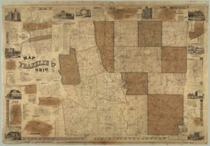
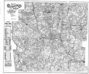
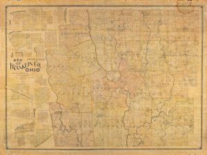
Historical maps of Franklin County dating back to 1842, as well as township maps, road record books, subdivision plats, private surveys, county road construction plans, and county road right-of-way plans are housed in the Records Management Office of the Surveying Department. Copies of these records and others are available to the public free of charge or for a nominal fee. Most can be obtained in both hardcopy and digital format. For more information, please contact Glenn Thompson, Records Analyst at (614) 525-3045.

Historical Map examples:

1856 Property Map of the city of Columbus

Map

1883 Property Map of Franklin County, Ohio

Franklin County Map

1895 Property Map of Franklin County, Ohio

Map