Franklin County Engineer Facebook Feed

Franklin County Engineer

As a local public works agency headquartered in Columbus, Ohio, the Franklin County Engineer's Office is responsible for the maintenance and construction of 271 miles of county roadway and 351 county bridges, as well as upkeep of all county ditches, drains, retention basins, and other storm water facilities within the right-of-way of county roads in unincorporated areas. To meet the continuing development and infrastructure needs of Franklin County, the Engineer's Office utilizes the latest technologies for determining and maintaining roadway centerlines and boundaries; retracing and setting new monuments for original public land surveys; preparing geographic information system mapping for real estate tax assessments; and establishing precise countywide horizontal and vertical control to maintain uniformity in construction, surveying, and mapping.
Franklin County Engineer
Lockbourne Road at London-Groveport Road (SR 317) is now open to traffic.
Franklin County Engineer
It's Go Orange Day! Show your support, and help raise work zone safety awareness by wearing something orange today. Be sure to post your pictures on social media using #Orange4Safety and tag us. #NWZAW
Franklin County Engineer
Morse Road is closed between the county line and Babbitt Road for a bridge deck replacement. The road will remain closed for three weeks or until the replacement is completed.
Franklin County Engineer
It's National Work Zone Awareness Week! This week, we will focus on raising awareness and encouraging drivers to use caution when driving through work zones. Let's protect our workers, pedestrians, and motorists! Drive Safe. Work Safe. Save Lives. #NWZAW
Franklin County Engineer's Office
970 DUBLIN ROAD
COLUMBUS, OHIO 43215
(614) 525-3030
fracoeng@franklincountyengineer.org
Top
 

Surveyor’s Journal Entry Twenty-Five

Surveyor’s Journal Entry Twenty-Five

Surveying and Land Record Keeping Duties of Today’s County Engineer

Today, the Franklin County Engineer’s Surveying Department performs a variety of surveys to meet the continuing development and infrastructure needs of the county. Use of a countywide network of horizontal and vertical control monuments and the satellite Global Position System (GPS) enables the most accurate surveys necessary for the design of construction projects and the definition of road centerlines, property limits, and county, municipal and township boundaries.

The Tax Map Office maintains the County Auditor’s Geographic Information System (GIS) property base map and other information, such as road records, historical maps, annexation plats, and city ordinances. They also provide all of the information for the production of the Franklin County Highway Map and Atlas; assign addresses in unincorporated areas; answer annexation questions pertaining to past cases, and assist with the creation and approval of future plats and descriptions; review deed descriptions and survey plats for the transfer and recording of real estate deeds at the county courthouse; and locate new streets which are not yet shown on the county map.

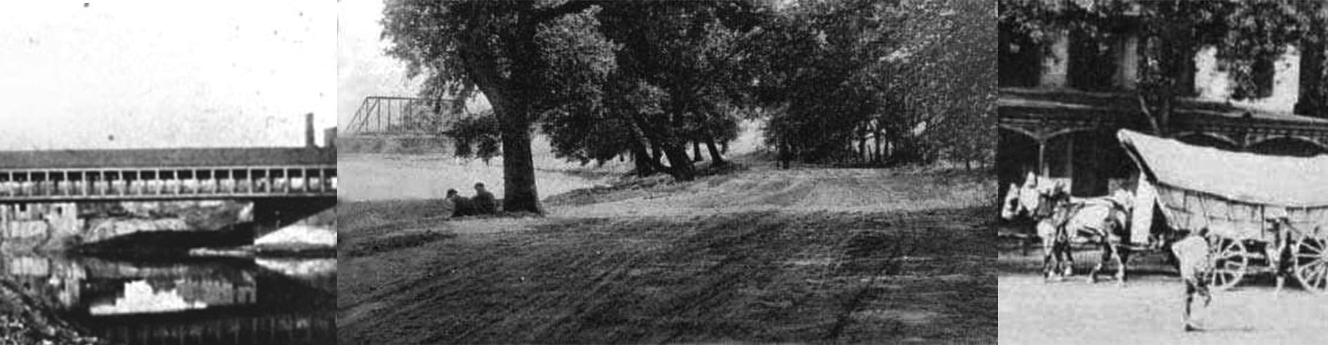
The Records Management Office is a centralized area that stores and maintains the official records for the departments of the Franklin County Engineer’s Office. Stored information includes bridge and highway construction plans; survey field books; subdivision plats; historical highway and property maps; drainage plans; construction reports; right-of-way acquisition documents; and aerial photographs of the county from 1938, 1987, 1989 and 2000. Reproduction services for many of these items are available.

The spirits of early surveyors Rufus Putnam, Lucas Sullivant, James Kilbourne and Joseph Vance are alive and well in the work of today’s Franklin County Engineer’s Surveying Department.